

The Majestic Grundarfoss: Full Guide to Snæfellsnes’ Hidden Giant
Not many countries in the world have so many waterfalls per square miles as Iceland does. The number of cascades that can be found here is almost endless. The geography of the island is abrupt and rugged, creating steep drops in the course of rivers. Some of these waterfalls have become famous and are popular attractions for travelers who come to visit this Nordic country. However, some others are not as known. Among these treasures is Grundarfoss, a powerful and visually striking waterfall located in West Iceland.
This astonishing feature is on the Snæfellsnes Peninsula, one of the most beautiful and diverse regions in the entire country. It’s often referred to as "Iceland in Miniature" because it contains almost all the natural wonders the country has to offer in a relatively small area. One of them is Grundarfoss. Most of the tourists who come to this area skip this hidden jewel, rushing towards the most popular hotspots. They miss something the locals consider one of the best, just a small detour from the main routes. Also, the peninsula’s diversity makes it one of the best destinations for a campervan trip. Come with us to discover this hidden treasure.
Key Takeaways
- Grundarfoss is a waterfall located on the Snæfellsnes Peninsula, in West Iceland.
- It has a 70-meter (230 feet) drop.
- It’s really close to Kirkjufell, the most photographed mountain in Iceland.
What is Grundarfoss?
Basically, Grundarfoss is a waterfall. It’s one of the tallest and most imposing waterfalls on the Snæfellsnes Peninsula. In fact, it’s the second-tallest after Bjarnafoss, yet it remains surprisingly under-visited compared to other landmarks in the area. It is situated on the northern side of the peninsula, just a short distance from the fishing village of Grundarfjörður. The waterfall is fed by the river Grundará, which flows from a mountain range above, cutting through volcanic rock formed thousands of years ago to create a dramatic drop into a lush, green valley. It comes from an elevated plateau that ends sharply in a cliff.
The landscape surrounding Grundarfoss is a great example of the volcanic and glacial history of West Iceland. The cliffs are made of layers of basalt, formed by successive lava flows millions of years ago. Over time, erosion from the river carved out the deep amphitheater in which the waterfall now sits. The walls of the cliff are straight, but at this point, they form a crescent-shaped dent, and that’s where the waterfall sits. The waterfall can be seen from a distance, but you don’t feel its full power and beauty until you get close.
Historically, this region has been the backbone of Icelandic fishing and farming for centuries. The town of Grundarfjörður, just a stone's throw away, was once one of the most important trading hubs in the country.
In Iceland, many natural sites are tightly tied to tales and legends. In Medieval times, the settlers of Iceland often explained the appearance of places with mythological stories as a way to understand the peculiar looks of many sites. Sadly, there are no such tales about Grundarfoss itself, but there are stories of the "Huldufólk" (the Hidden People) who are said to live in the cliffs and rock formations of the region. There are stories that speak of the spirits that inhabit the high plateaus, watching over the farmers and fishermen below. In fact, the whole Snæfellsnes Peninsula has a half-human, half-troll protector, called Bárður Snæfellsás.
In short, Grundarfoss is one of those places where Iceland can be felt at its best. Here, you can witness how the forces of the Earth have interacted to create something dramatic and beautiful. The whole scene changes with the seasons, with green moss covering the rocks in late spring and summer, and a blanket of snow framing the curtain of water in winter.

About Grundarfoss Waterfall
Understanding the physical characteristics of Grundarfoss helps one appreciate its place among the great waterfalls of the west. The name "Grundarfoss" translates literally to "Ground Waterfall" or "Plain Waterfall," referring to the flat land or "grund" that lies at the foot of the mountain range where the waterfall is. It’s part of the river Grundará, which meets the sea not long after the drop. Despite its somewhat humble name, its dimensions are anything but ordinary.
Grundarfoss drops from a height of approximately 70 meters (around 230 feet). This makes it significantly taller than its famous neighbor, Kirkjufellsfoss, which is better known for its composition and backdrop than for its height. The width of Grundarfoss varies with the season and the amount of meltwater from the mountains, but it generally maintains a powerful, concentrated stream.
The volume of water is most impressive in late spring and early summer when the snow on the Snæfellsjökull glacier and the surrounding peaks begins to melt. However, even in the middle of winter, the waterfall remains a sight to behold, often partially freezing into intricate ice sculptures while the core stream continues to flow.
The waterfall is mostly known by its vertical drop inside a semi-circular cliff face. This geological formation creates a natural acoustic chamber, meaning the sound of the falling water is amplified and can be heard from some distance.

Where is Grundarfoss and How to Get There
As we have mentioned before, Grundarfoss is located in West Iceland. More precisely, it’s near the northern coast of the Snæfellsnes Peninsula. It is situated roughly 2.5 kilometers (1.5 miles) east of the town of Grundarfjörður. The best way to get there is by having your own vehicle. There is no public transport going to the waterfall, and few tourist bus tours stop there. Also, renting a campervan or a car will give you the flexibility to go see it whenever you want, at your own pace, and then continue your journey. If you take a road trip in this region, which is highly recommended, the waterfall is very accessible, as it is clearly visible from Route 54, the main road that loops around the peninsula.
Most of the road trips in Iceland start in Reykjavik. The capital is close to Keflavik International Airport and is usually one of the first stops. If you’re coming from there, the total distance is 175 kilometers (108 miles) and usually takes 2.5 hours in good conditions and without stops.
To reach the waterfall from the capital, start by taking the Ring Road, whose official name is Route 1, northbound, passing through the Hvalfjörður tunnel. After 75 kilometers (46.6 miles), you’ll reach Borgarnes, one of the main cities in the west. Once you’ve crossed the city, turn left onto Route 54, which goes to Snæfellsnes and loops around the peninsula. Continue on that road for nearly 100 kilometers (60 miles), and shortly after crossing the bridge over the Kolgrafarfjörður fjord, and before getting to Grundarfjörður, there’s a dirt track and parking area on the left-hand side, with a small sign that indicates Grundarfoss. The waterfall can be seen from there.
The parking area is free, and you can leave your campervan there. From the parking area, it is a roughly 15-to-20-minute walk through farmland to reach the base of the waterfall. Always ensure you stay on the designated paths and respect the private property of the local farmers who allow access to this natural wonder.

Where to Stay Near Grundarfoss Waterfall
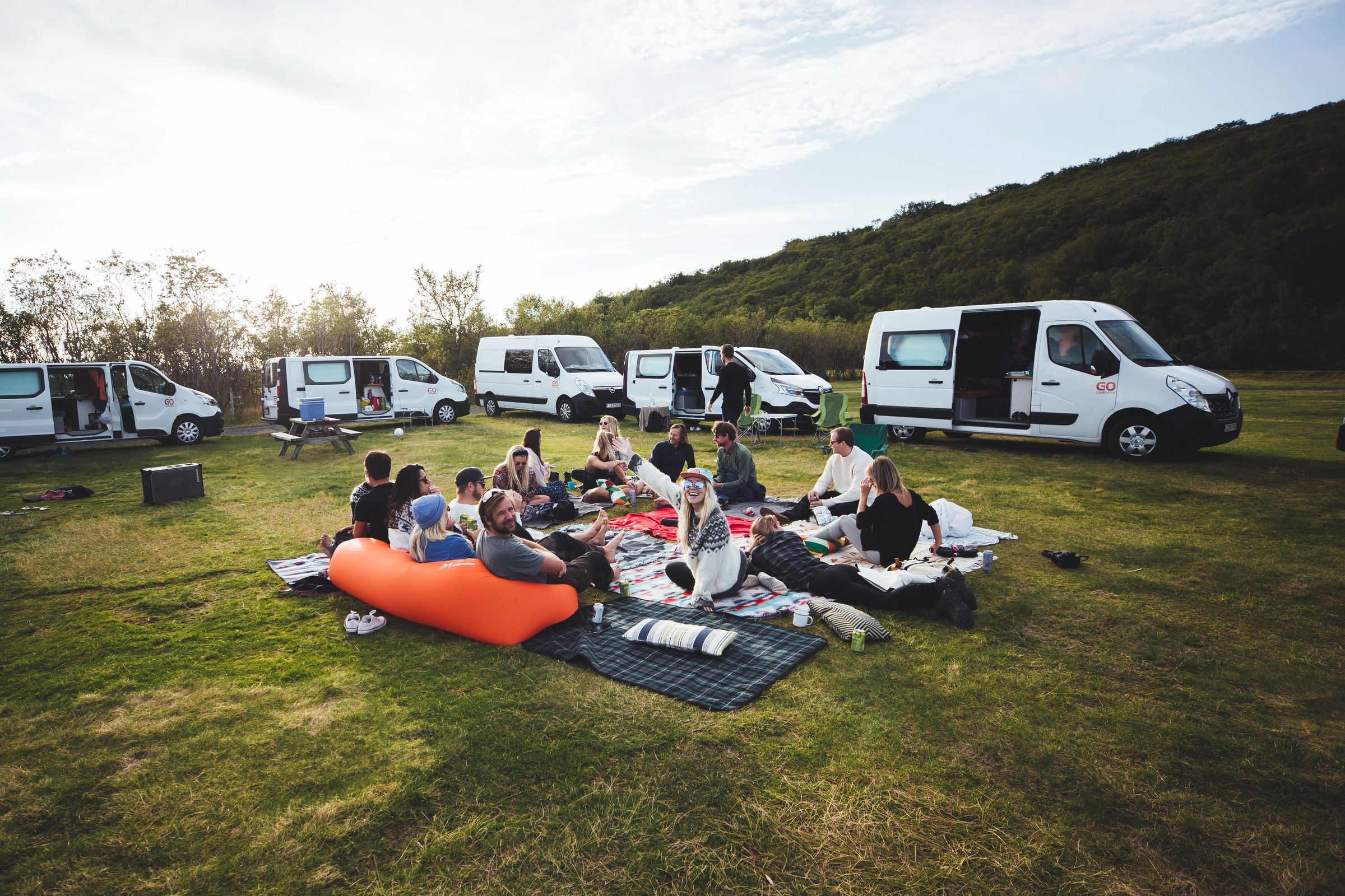
There are a bunch of good camping grounds on the Snæfellsnes Peninsula, making it a great destination for a campervan trip. It’s important to know that wild camping is illegal in Iceland, and can result in high fines, so stick to designated areas.
Grundarfjörður Camping Ground
Distance to Grundarfoss: 3 km (1.8 miles). Opening period: May 1 to September 30.
This place is the closest and most convenient to Grundarfoss for spending the night in a campervan. And not only that, you can see the iconic Kirkjufellsfoss from the camping area. Grundarfjörður is a fishing town on the north coast of the Snæfellsnes Peninsula, and this campsite is just on the edge of the town. It’s a modest site, equipped with toilets, hot and cold water taps, and electricity hookups. There’s a public swimming pool next door, and the clients can use the showers there, but it costs extra. You’ll find everything you need for your trip in Grundarfjörður: supermarket, gas station, bars, and restaurants. The proximity to both the town and the area’s major natural attractions makes this a popular spot, so arriving early in the afternoon is recommended during peak season.
Ólafsvík Camping Ground
Distance to Grundarfoss: 27 km (16.7 miles). Opening period: May 1 to September 30.
Ólafsvík is another town on the same coast, a few kilometers west, known for being one of the best places in Iceland for whale watching. And it has its own campsite. Located on the eastern edge of the town, this site features grassy pitches in a beautiful natural setting, as well as showers, toilets, Wi-Fi, electricity, and a playground for children. Its proximity to the center gives access to shops, restaurants, and other services.
Hellissandur Camping Ground
Distance to Grundarfoss: 37 km (23 miles). Opening period: May to September (sometimes mid-October).
This campsite, also known as Sandur, is located right on the edge of the Snæfellsjökull National Park. Opened in 2011, it’s located in the middle of a beautiful lava field called Sandahraun. It has a common area with toilets, showers, and sinks. There are also several trails from the camping ground to explore the area. The campsite is operated by the information center in Snæfellsbær, which is located in Ólafsvík, about 9 km from Hellissandur.
Arnarstapi Campsite
Distance to Grundarfoss: 55 km (34 miles). Opening period: End of May to September.
Arnarstapi is a charming fishing village on the southern shore of the peninsula. The local camping ground is close to the center, so you’ll have access to all the services, like shops, a gas station, and restaurants, that can be found there. The site has showers, toilets, Wi-Fi, electricity hookups, and a sink for washing dishes. It also features 13 cottages suitable for two adults and a child, perfect for a cozier stay, and they offer free Wi-Fi. It’s not very big, so it’s better to book in advance, especially during peak season (June to August).
Stykkishólmur Camping Ground
Distance to Grundarfoss: 37 km (23 miles). Opening period: Year-round.
Stykkishólmur is the largest town in the region and serves as a gateway to the islands of Breiðafjörður. The campsite is located right next to the town’s golf course and is very well-maintained. This basic campsite has toilets, a washing machine, and electricity. It’s close to the town’s center, so you can get easy access to supermarkets, gas stations, and other services.
Snorrastadir
Distance to Grundarfoss: 68 km (42 miles). Opening period: Year-round.
This farm-based campsite near a stream has fantastic mountain views and separated areas for tents and vehicles. It’s a traditional farm that has been operated by the same family since 1883. It has a camping area with toilets, showers, a kitchen, and electricity. They also have several cabins for up to five people. If you want a different stay, you can opt for the guest house with rooms equipped with bunk beds. Surrounded by hills and lava fields, it’s a charming spot for those seeking solitude and a taste of traditional Icelandic farm life. It is a bit far from Grundarfoss, but it serves as an ideal first or last stop when entering or leaving the peninsula.
What to See and Do Near Grundarfoss
The Snæfellsnes Peninsula is packed with attractions. As we have mentioned before, this region is nicknamed “Iceland in miniature,” because here you can find a bit of everything the country is known for. Once you have enjoyed the majesty of Grundarfoss, you can easily reach these other iconic locations in your campervan:
Kirkjufell and Kirkjufellsfoss
Just a five-minute drive from Grundarfoss stands Kirkjufell, the most photographed mountain in Iceland. It is a 463-meter mountain (1,519 feet) with a distinctive arrowhead shape. Some say it resembles a church spire (in fact, Kirkjufell means “church mountain” in Icelandic), but some people see it as a witch’s hat. This mountain started to gain even more popularity following its role as a filming location for Game of Thrones. Right across the road is Kirkjufellsfoss, a smaller (compared to Grundarfoss) but really beautiful waterfall. Together, they create an astonishing view.

Bjarnarfoss
Earlier, we said that Grundarfoss is the second-tallest waterfall on the Snæfellsnes Peninsula. The number one is Bjarnarfoss, an 80-meter waterfall cascading in two tiers from basalt cliffs on the southern part of the Snæfellsnes Peninsula, near the town of Búðir. The falls, whose name can be translated as “bear’s waterfall,” are part of the river Bjarná. The origin of the name remains a mystery, as there are no bears native to Iceland. The upper part, more exposed, catches the wind, and the water sways and dances against the cliff.

Snæfellsjökull National Park
Snæfellsjökull National Park covers 170 square kilometers at the peninsula's western end. It encompasses both land and sea areas, being the only one of the three national parks in Iceland to have them. The center of the park is a stratovolcano topped by a glacier that gives the park its name. The mountain is a place of literary fame, as Jules Verne located here the entrance to the underworld in "Journey to the Center of the Earth." There’s a large network of hiking trails that allow you to explore all the corners of the park. Two of the most searched animals in Iceland can be found here: Arctic foxes and seals.

Rauðfeldsgjá Gorge
Rauðfeldsgjá is a narrow gorge that cuts like a scar into the side of a mountain. It was formed by glacial meltwater carving through rock over time. This amazing geological feature, which looks hidden, is about 100 meters (328 feet) deep, with moss-covered walls and a stream running through its base. There’s a short but moderate trail from the parking area to the entrance of the gorge. Inside, the air is damp and always cool, even on the warmer summer days.

Ytri Tunga Beach
This golden sand beach, something rare in Iceland, is located on the southern shore of the Snæfellsnes Peninsula. Ytri-Tunga is home to one of Iceland’s largest seal colonies. Harbor seals are often seen there lounging on the rocks or swimming playfully, but there are chances to spot some grey seals, too. Keep 50 meters away to avoid disturbing them.

Saxhóll Crater
Near the western tip of the peninsula, Saxhóll is a great example of the volcanic activity that has shaped most of the country. Its perfectly symmetrical shape, like a cone, is made of loose volcanic material, such as scoria and ash, with a central depression filled with black sand and scattered rocks. A metal staircase, consisting of 385 steps, has been built from the base to the rim, which makes it quite easy to reach the summit. The views from the top are simply astonishing.

Best Time to Visit Grundarfoss
When travelling to Iceland, the weather is a major factor to consider. Most of the things you’ll want to see and do are outdoors, like Grundarfoss, so it’s crucial to know what to expect.
Summer (June – August): This is the most popular time to visit. The days are incredibly long, giving you nearly 24 hours of daylight to explore. The weather is at its mildest, and the paths to the waterfall are clear of snow and ice. There are always chances of a sudden shower, though. However, this is also the busiest season, so expect more fellow travelers at the popular sites and campsites.
Autumn (September – October): Autumn brings a beautiful change of colors to the valley around Grundarfoss. The grass turns gold and orange, providing a stunning contrast to the dark basalt cliffs. The crowds begin to thin out, and some campsites start closing for the season. The weather becomes more unpredictable, with more wind and rain, so be prepared.
Winter (November – March): Winter transforms the waterfall into something very different. The surrounding mountains are covered in deep snow, and the waterfall itself may have massive icicles. The days are very short, with barely 4-6 hours of natural light. On the other hand, if the night is clear, this is the season when the northern lights happen. However, driving can be complicated, and some roads close if the weather is bad. Always check the weather and road conditions daily.
Spring (April – May): Spring is the season of renewal. As the snow melts, Grundarfoss reaches its peak flow, making it particularly powerful. The landscape begins to turn green again. It is a "shoulder season," meaning you can enjoy the sites with fewer people, though some hiking trails may still be muddy or closed. It rains quite often.

What to Pack to Visit Grundarfoss
- Waterproof Jacket: Icelandic weather changes in minutes. A high-quality waterproof and windproof jacket is essential to protect you from rain that can happen suddenly.
- Sturdy Hiking Boots: The path to Grundarfoss can be muddy and uneven. Boots with good ankle support and grip are necessary.
- Layered Clothing: The best way to adapt to the constant temperature changes is to dress in layers. Choose a thermal base layer, cotton or fleece, for the intermediate layer, and the aforementioned waterproof jacket.
- Waterproof Trousers: They can come in handy when the rain hits.
- Reusable Water Bottle: Icelandic tap water is some of the cleanest in the world. You can fill up at any campsite or even from some clear mountain streams.
- Power Bank: While campervans have charging ports, a portable power bank keeps your devices charged on long days out. Also, some campsites don’t have electricity.

Travel Tips
- Check the road conditions before heading out. The weather on the Snæfellsnes Peninsula can be much windier than in Reykjavik.
- Respect Private Property. The walk to Grundarfoss crosses through farmland. Stay on the paths, close any gates you pass through, and do not disturb the livestock.
- Book Campsites in Advance. In summer, which is peak season, popular sites like Grundarfjörður can fill up. Book in advance when possible and, if not, try to arrive early to secure a spot.
- Download Offline Maps. While cell service is generally good, having offline maps or an old-school paper one is helpful in the more remote areas of the national park.
- Leave No Trace. Iceland’s nature is fragile. Take all your trash with you and leave everything as you found it.
Conclusion
Grundarfoss is a spectacular example of Iceland’s raw beauty. In this country, nature displays itself in many ways, most of them spectacular, creating some things that have become famous all over the world. Others, on the other hand, remain a secret while being as spectacular, sometimes even more, than those popular places. For those traveling by campervan, Grundarfoss is the perfect stop: accessible yet peaceful, surrounded by some of the country’s most diverse landscapes.


