Hengifoss is one of Iceland’s tallest waterfalls, tumbling 128 m down a gorge of ancient basalt and bright red clay layers. It’s less visited than Dettifoss or Gullfoss, but its striking geological setting and rewarding hike make it a must-see in East Iceland.
Key Takeaways
Height: 128 m (420 ft), making this one of the tallest waterfalls in Iceland.
Location: East Iceland, just 35 minutes from Egilsstaðir.
Access: It can be seen from the parking area at the base, but you reach the closest viewpoint via a moderately challenging uphill hike.
The Hiking Trail: Expect the trail to take between 2–3 hours return, with 300 m (964 ft) elevation gain.
Camping options: Egilsstaðir has one of the best campsites in the country. There’s also a quiet and beautiful campsite on the shores of Lake Lagarfljót.
What’s Hengifoss?
Hengifoss means “Hanging Falls,” a name that fits the waterfall’s appearance as it spills over a high basalt cliff into a deep canyon. What makes it visually distinct are the red clay stripes sandwiched between black lava layers: geological markers laid down during Iceland’s volcanic past.
It’s the third-tallest waterfall in Iceland, and while it may lack the raw volume of Dettifoss, its appeal lies in the setting. The hike to Hengifoss is half the experience, winding through a gorge carved by the Hengifossá river and offering multiple viewpoints along the way.
Why Visit Hengifoss?
The hike to Hengifoss is one of East Iceland’s most rewarding short walks. It’s a 5 km round-trip trail that climbs steadily from the parking lot, with sweeping views over Lake Lagarfljót, patches of summer wildflowers, and two waterfalls worth stopping for. About halfway up, you’ll reach Litlanesfoss, a narrow cascade tucked between tall, organ-pipe basalt columns that rise like a natural amphitheater.
From there, the path leads deeper into the gorge until Hengifoss comes into view – a tall, remote waterfall striped with vivid red and dark volcanic layers. It’s a dramatic setting that feels far from the main tourist trail, and chances are you’ll have it mostly to yourself.
The cliffs around Hengifoss are like a cross-section of Iceland’s geological past. Over five million years ago, volcanic eruptions during the Tertiary period laid down thick layers of basalt. Between those eruptions, red bands of iron-rich clay settled in – leaving behind the striking stripes that give Hengifoss its distinctive look today.
Since then, meltwater from glaciers and constant erosion have carved the gorge deeper, letting the Hengifossá river spill over the cliff’s edge. Landslides still reshape the canyon over time, and if you look closely, you can often spot fresh rockfall scattered below the cliffs.
Facts About Hengifoss
At 128 meters tall, Hengifoss is the third-highest waterfall in Iceland, fed by the Hengifossá river as it winds down from the highlands into Lake Lagarfljót. Its name roughly translates to “Hanging Falls,” and it's one of the most striking natural features in East Iceland. The red and black stripes along the cliff face aren’t just for show – they’re layers of iron-rich clay and basalt, laid down by volcanic eruptions over five million years ago.
The hike to reach the base is about 5 km round-trip and usually takes 1.5 to 2 hours, depending on pace and weather. Along the way, you’ll pass Litlanesfoss, a 30-meter cascade framed by some of Iceland’s most photogenic columnar basalt formations. It’s a great mid-point for a break before finishing the climb to Hengifoss itself.
Though it sees fewer visitors than the south coast’s big-name waterfalls, Hengifoss has become a favorite for photographers, especially during the first of the winter freezes, when the cliffs glaze over with ice. The trail is open year-round, but crampons are essential in snowy or icy conditions. Located about 35 minutes south of Egilsstaðir in Fljótsdalur Valley, it makes an easy half-day detour for campervan travelers exploring the East.
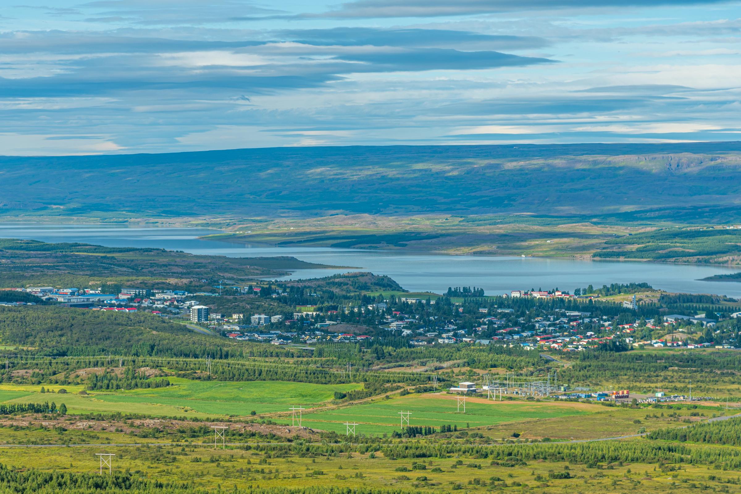
Hengifoss is in East Iceland, about a 35-minute drive from Egilsstaðir – the region’s main town and a common resupply stop for travelers. If you’re approaching from the north or the Ring Road, take Route 931 south around Lake Lagarfljót. The road hugs the lake for most of the way, with signs pointing to Hengifoss near the turnoff for the parking area.
If you’re coming from the south, there’s a mountain pass that cuts across toward Lake Lagarfljót without going through Egilsstaðir. It’s a rough gravel track, but usually passable in good summer weather. Just make sure to check road conditions before you commit, especially if you're in a 2WD.
The road around the lake and to the trailhead is paved and accessible year-round, though it can get icy in winter. At the parking lot, you’ll now need to pay a small parking fee (1,000 ISK [$7–8 USD]), which can be done online via checkit.is.
Rent A Camper In Iceland
Get to every corner of the island with total freedom and flexibility
The trail to Hengifoss is one of East Iceland’s best short hikes, but don’t underestimate it – it’s steeper than it first appears when you pull up at the parking lot. The round trip is about 5 km (3 miles), with 300 meters (985 feet) of elevation gain. Most people take around 1 to 1.5 hours to reach the top, and about 45 minutes to come back down.
The path is wide, well-marked, and easy to follow. It starts with big views over Lake Lagarfljót, then climbs steadily alongside the Hengifossá river. You’ll cross a few small wooden bridges, pass rocky outcrops, and find plenty of scenic spots to stop for photos or a break. After about 1 km (0.6 miles), you’ll reach Litlanesfoss and its basalt columns – then it’s a short but steeper push to Hengifoss at the end of the canyon.
Wear proper hiking shoes, bring some water, and give yourself time to enjoy the views. It’s a straightforward trail, but the climb can feel long if you’re rushing.
Best Camping Near Hengifoss
There are several excellent campsites near Hengifoss for those looking to spend the night in the vicinity.
Egilsstaðir Campsite
This full-service campsite in the town center offers hot showers, laundry, kitchen facilities, and a supermarket nearby. It’s the most convenient option and a great base for the entire Eastfjords region, and one of the best in the country. During the summer months, remember to reserve your spot in advance – this is one of the few campsites where you must make a reservation.
Atlavík Campsite (Lake Lagarfljót)
Located in a beautiful birch forest on the eastern shore of the lake, this is one of the most scenic campgrounds in Iceland. Facilities are more basic, but the setting is unbeatable. It’s about a 15-minute drive from the Hengifoss trailhead.
Seyðisfjörður Campsite
A bit further afield (about 40 minutes from Hengifoss), this charming campsite is perfect if you’re looking to camp in the Eastfjords most charming town, or if you’ve just arrived off the ferry from Europe. Surrounded by mountains and waterfalls, it’s a favorite among long-distance road trippers, and the town is a bit of an artists’ hotspot, with a clutch of boutique shops and galleries to enjoy.
What Else to See in the Area
While Hengifoss is probably the most famous attraction in the region, East Iceland is filled with quieter, more off-the-radar attractions. It’s the destination in Iceland that is most often just driven through due to time constraints and the rhythms of the Ring Road, but some detours are more than worth stopping for.
Hallormsstaðaskógur Forest
Just south of Hengifoss lies Hallormsstaðaskógur, Iceland’s largest forest and a rare patch of dense woodland in a country better known for its open, treeless landscapes. The forest is home to a variety of native and imported tree species, along with several easy walking trails, viewpoints, and picnic areas. It’s especially lovely in summer when the birch and larch are in full leaf, and a perfect spot for a relaxed afternoon outdoors or to camp the night.
Lake Lagarfljót
Running along the edge of the forest and past Hengifoss itself, Lake Lagarfljót is one of Iceland’s longest lakes – over 25 km in length – and is steeped in folklore. Locals say it hides a mysterious sea serpent-like creature, said to live in its depths. Even if you don’t spot the monster, the lake offers scenic driving routes, tranquil views, and easy-going walking routes. It’s a moody, atmospheric place, especially on misty mornings.
Skriðuklaustur
A short drive from Hengifoss, Skriðuklaustur combines cultural history with contemporary Icelandic life. The site was once a 16th-century monastery, but today it's best known as the former home of writer Gunnar Gunnarsson. The elegant stone house now operates as a cultural center and museum, with exhibitions on local history and archaeology. There’s also an excellent café on-site that serves hearty, traditional Icelandic fare made with fresh, local ingredients.
Seyðisfjörður
Tucked into a narrow fjord just over the mountain pass from Egilsstaðir, Seyðisfjörður is one of the most photogenic towns in Iceland. Brightly painted timber houses line the harbor, with art installations, boutique shops, and galleries scattered around town. It’s a hub for artists and musicians, with a strong creative energy. The drive into town over the Fjarðarheiði pass is stunning in its own right, especially when the mountains are dusted with snow.
Strútsfoss
Despite being one of Iceland’s tallest waterfalls, Strútsfoss remains a quiet secret. It plunges in two graceful tiers down a dramatic cliff face, hidden at the end of a valley in Suðurdalur. Getting there requires a 2-hour hike (4 hours return) along a winding trail through a remote canyon, with sweeping views of the surrounding highlands. The hike is part of the reward – it’s a peaceful, solitary experience that feels far from the beaten path, even in peak season.
Planning Tips for Your Visit
Time your hike: Early morning and late afternoon offer the best light and cooler temperatures for the climb. The trail is fully exposed, so midday sun can make the ascent more taxing.
Dress in layers: Weather in East Iceland can shift quickly, especially at higher elevations. Windproof jackets, a hat, and gloves (even in summer) are a good idea.
Footwear: Hiking boots or trail shoes with good grip are essential. Even in dry weather, sections of the trail can be loose or muddy.
Facilities: There are toilets at the parking area, and a food truck as well that serves ice cream, coffee, waffles, and soups for hungry hikers.
Iceland’s Striped Giant
Hengifoss is one of those places that rewards effort with atmosphere. The towering red-striped cliffs, the twin waterfalls on the trail, and the peaceful East Iceland setting all combine to create something quietly spectacular.
Whether you’re making a loop of the Ring Road or diving deeper into the Eastfjords, Hengifoss is an essential stop – and one of the most photogenic hikes in all of Iceland.
Frequently Asked Questions About Hengifoss
The waterfall is free to visit, but there is a parking fee of 1,000 ISK (about $7–8 USD), payable online.
Late spring to early autumn (May–September) is ideal for milder weather and safer trail conditions. Summer offers wildflowers and long daylight, while early autumn brings colorful foliage. Winter requires crampons due to ice and snow.
Yes, Hengifoss can be a good spot for Northern Lights viewing from September to March, thanks to low light pollution. Check aurora forecasts, visit at night, and ensure clear skies for the best chance.
Walking behind Hengifoss or Litlanesfoss is not possible. The cliffs and water flow make it unsafe and inaccessible. Enjoy the views from the trail’s designated vantage points instead
About the author
James Taylor
James Taylor is an Australian travel writer who has spent more than a decade exploring Iceland’s wild corners in every season – most often with a campervan. He has updated guidebooks for DK Eyewitness and Bradt, written features for major travel publications like Nat Geo Traveller, Lonely Planet and The Times, and clocked thousands of kilometres on Iceland’s roads. His on-the-ground experience means he knows the country inside out, from winter road trips to midnight-sun swimming pools to remote trails in Hornstrandir. He’ll also sheepishly admit that a good portion of his “research time” for his next guidebook or article is really just him hiking with friends in tow.